About Us
Situated at an elevation of around 230 feet, Chandauli is a district under the state of Uttar Pradesh, India. Varanasi is the division of Chandauli and is around 30 km far from it. There are mainly 3 subdivisions of Chandauli’s geography
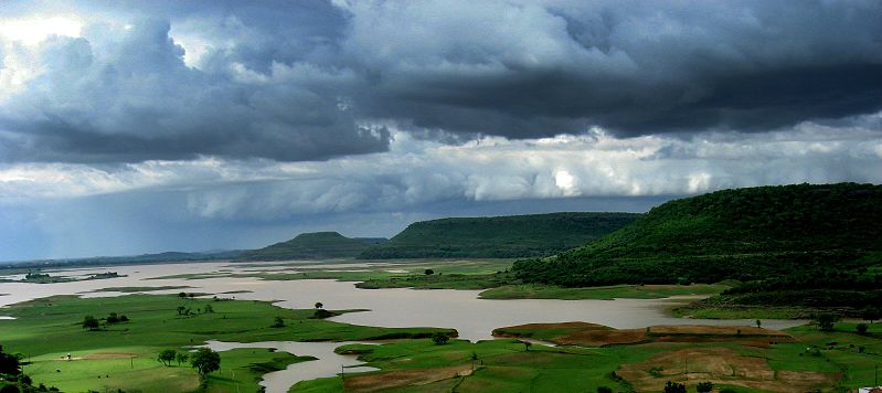
The southern and southeastern parts of Chandauli make the Chakiya plateau. The rivers in Chandauli originate from this region and drain in the northern part. Deodari waterfall and Chandraprabha Wild-life Sanctuary are the two major attractions for tourists in Chakia Plateau
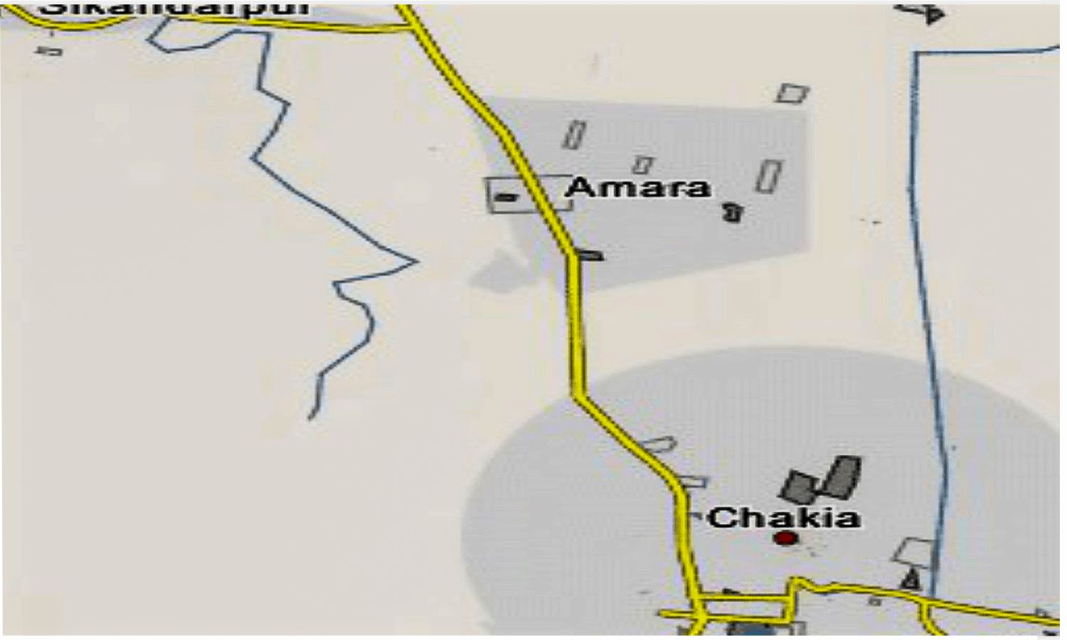
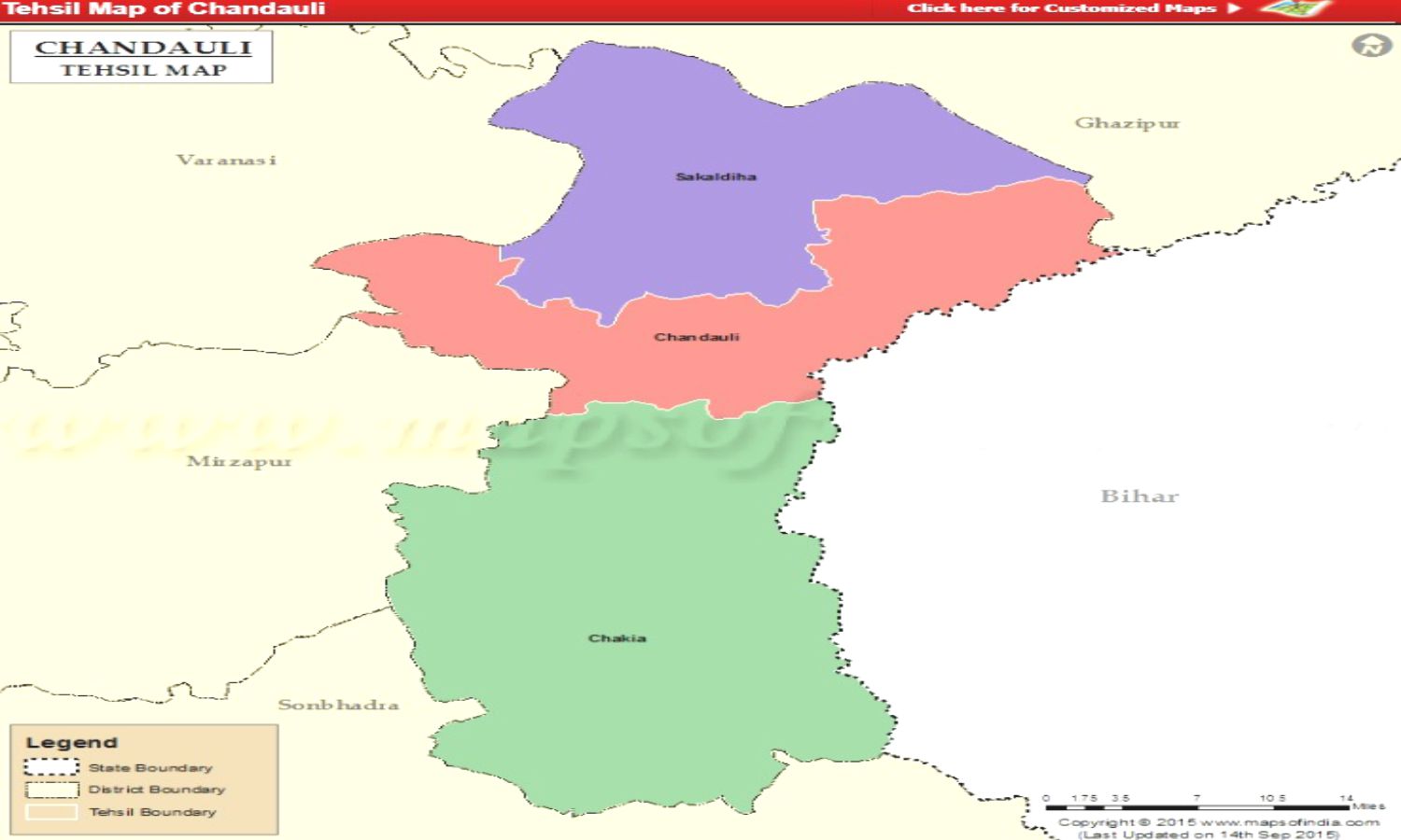
Chakiya Tehsil, Sakaldiha, and Chandauli are comprised under the Chandauli plain. The elevation of Chandauli plain is comparatively low causing stagnant water during the rainy season. Being plain, this region is mostly suitable for habitation, transportation, and agriculture.
This geographical area is a narrow belt along the bank of the river Ganga in the region. Undoubtedly, this region is very sensitive during the flood in Ganga. The agricultural activities are very limited in this region. .
Situated at an elevation of around 230 feet, Chandauli is a district under the state of Uttar Pradesh.
District Tourism & Cultural Council / Tourism Information Centre
Pt. Deen Dayal Upadhyay Smriti sthal - Padao , Chandauli
+91-6389300527
dtcc.chandauli@gmail.com
Copyright © चलो चंदौली . All Rights Reserved 2023.